Protected or Non-Accessible Areas
Where and when?
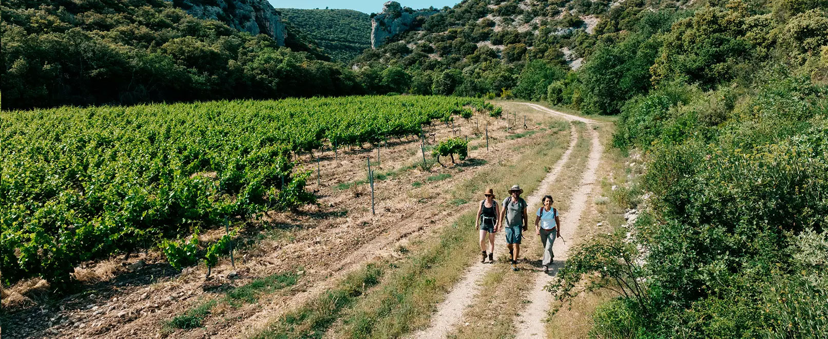
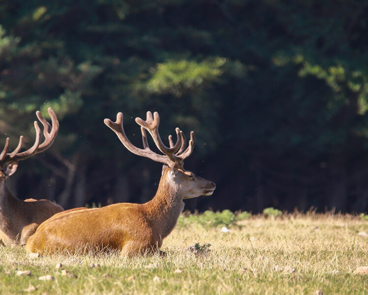
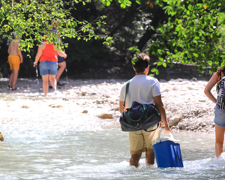
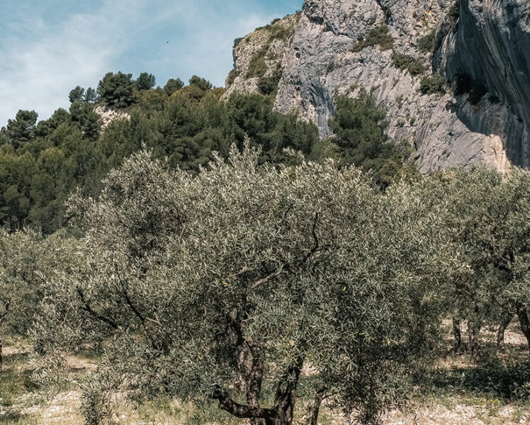
Our natural spaces are sensitive and we are committed to preserving them. Let’s all protect their riches together by following a few basic rules for the responsible visitor. On a walk or hike, in order not to find yourself in a restricted situation, on a massif closed for safety or protection reasons, on the way to a trail or mountain bike competition, or faced with a road closed to traffic, here is a map listing the main protected areas, the practices and behaviour to respect, sensitive places to avoid.
Sources: Luberon and Mont-Ventoux Regional Nature Parks, Vaucluse Department, Vaucluse Tourist Offices, etc.
How Do I Use This Map?
To see the restricted areas during your stay, click on the icon ![]() and then select the dates of your stay. The areas affected by information or access limitation will be displayed. By default, today’s date is selected.
and then select the dates of your stay. The areas affected by information or access limitation will be displayed. By default, today’s date is selected.
On this map you will find:
– the main protected areas in wild areas the regulations for which have a direct impact on the movement of hikers (on foot, by bike, on horseback, etc.)
– the roads, tracks and paths temporarily closed to traffic (works, landslides, etc.)
– areas prohibited to motorised land traffic in natural areas
– restrictions on access to forest areas during periods of forest fire risk
– major sporting events causing traffic and access difficulties
...
Roads closed
Restricted areas
Read Also

Sensitive Areas
Useful Links

Weather
– in Vaucluse (fr)
– on the Ventoux (fr)

Regional Natural Parks
– Mont-Ventoux (fr)
– Luberon (fr)

Road Works in Vaucluse
Road info (fr)