3 ideas for hikes around Avignon
Find easy circuits of a set distance to book-end your day spent in or around what’s known as Grand Avignon. If you were thinking about putting your walking boots away until autumn we’ve got three itineraries that might tempt you sooner!
Duration:
3 hours
Type:
Hiking
1 – La Barthelasse : the most insular
A condensed version of the island’s must-sees
The Barthelasse is an island you don’t expect to see rising between the two arms of the Rhône, acting as the liaison between the Gard and Vaucluse départements.
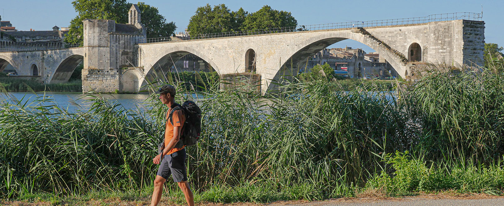
Go for a long walk along the banks enjoying a view of the ramparts of Avignon and Pont Saint-Bénézet, among the best in Avignon. It’s a green haven of oak trees and reed beds hugging the course of the river, a much appreciated refuge during the heatwaves. The names of the paths there lead you to the water and wrought iron gates which open onto small barges, each named after Saint-Exupéry’s stories.
The ambience changes the further in you get: fruit trees replace the oaks, the woods retreat before a patchwork of crops. Shared gardens and farms selling produce invite you to push open their doors and fill wicker baskets with their wares. The Île de la Barthelasse is Mother Nature’s lung in the Popes’ City with cosy paths and little tarmacked roads winding their way around it.

Did you know?
With 700 hectares of fertile land, produced by several small islands being joined together over the years, the vast natural space flanked by a remarkable Riparian forest makes up the biggest river island in Europe. It gets its name from Jean-Richard d’Avignon, alias Barthelucius, who took out a lease from the Saint-André Abbey in 1447 to grow wheat there.

Practical information

Download:
– Trace GPX
– Technical sheet for the hike

In detail:
– Distance: 11 km
– Elevation gain: 17 m
– Duration: 3h
– Difficulty: easy

Get there from the centre of Avignon on foot or by bus via Orizo (line 5)
2 – La Parisienne: the most historic


Did you know?
La Parisienne was the name of a quarter of Cambuisson where one of the three Les Plâtrières factories was founded in the middle of the 19th century. This is where one of the major pages in the history of local plaster was written until the site closed in 1966, then the merger six years later with a heavyweight, the Lafarge group.
A Walk on the banks of the Carpentras Canal
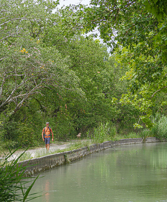
To start off with, the circuit follows the pleasant flow of the Carpentras Canal, which was created 170 years ago and moves to the calm rhythm of a constant current which comes from the Durance. A rather wide towpath-style path gives walkers the opportunity to follow the course for a few kilometres, from bridge to bridge. The signposts then lead you to take on the La Pouyaque ravine, the only real elevation of a circuit that almost has none. The shadow of the oak trees paints a large chalk path black, where blue thistles running along it explode into fireworks of mauve and purple. Fossils of buildings can be glimpsed, telling stories from before the pine trees ruled, when people lived in the countryside and farmed it. Further on, grapes grow out of sight, mixing with olive trees, cherry trees and the mysterious Rouxel ruins. A final liaison before joining the large path going down from Piègros which takes you back to Pont des Arrayiès again.
Practical information

Download:
– Trace GPX
– Technical sheet for the hike

In detail:
– Distance: 6 km
– Elevation gain: 107 m
– Duration: 1h
– Difficulty: easy

Get there by train to Isle sur la Sorgue, then bus no. 57 to Velleron (1hr30)
3 – L’Islon-Saint-Luc: the most natural
Exploring the Bras des Arméniers
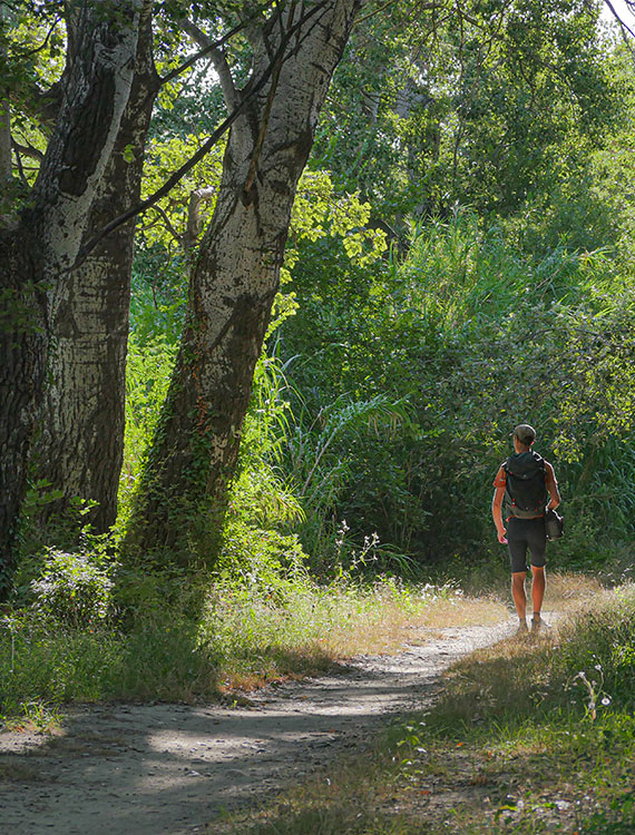
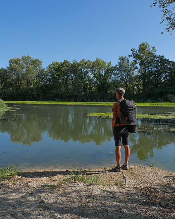
Islon-Saint-Luc is a tiny enclave, listed Natura 2000 and ZNIEFF, which makes a buffer between the Châteauneuf-du-Pape vineyard and Île de l’Oiselet, which it is separated from by the Bras des Arméniers. In this lush green islet, caressed by the waters of the lazy current which sometimes makes it look like a mangrove, sixty or so species of bird all chirp away, while twenty or so species of fish swim in the waters. It is even said that it is possible to see a beaver… What is striking here is how lush the plant cover is. The bucolic alder, ash and elm trees are all said to be native varieties, but it is the oaks and white poplars which are the most impressive. The tour of Islon-Saint-Luc borrows from the enjoyable walks in forest undergrowth that the French enjoy so much, particularlu after a nice Sunday lunch with the family. Take a dip in Nature in its simplest form and forget about the baking heat of the summer days.

Practical information
The Bras des Arméniers is the result of patient restoration carried out and finished in 2015 by the Compagnie Nationale du Rhône. It is disconnected from the river and is mainly supplied by a side canal from the Meyne. Several information panels tell the story which has encouraged biodiversity and ecological continuity to come back.

Practical information

Download:
– Trace GPX
– Technical sheet for the hike

In detail:
– Distance: 3 km
– Elevation gain: 6 m
– Duration: 1h
– Difficulty: easy

It is possible to get there by bike via the Via Rhona, from Caderousse, Avignon and Sorgues.
By bus from Avignon: 902 to Sorgues then 922 to Châteauneuf-du-Pape
These are three easy circuits to enjoy at the beginning or end of the day that prove hiking in the Vaucluse in the summer is not only possible but very enjoyable. Mix with broader discovery of what Grand Avignon has for tourists to enjoy when visiting the Popes’ City.

