Sault
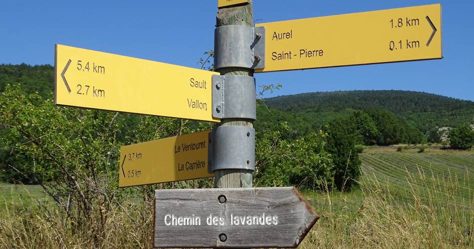
V17 Le chemin des lavandes
V17
Route
Loop
Difficulty
Very easy
Duration
1h03
Distance
5km
Positive elevation gain
76 meters
Negative elevation gain
78 meters
Altitude
Min. 708 meters
Max. 772 meters
- circuit
- variante
- liaison
Departure / Arrival
/
Parking
profil altimétrique
Tourist service in Sault :
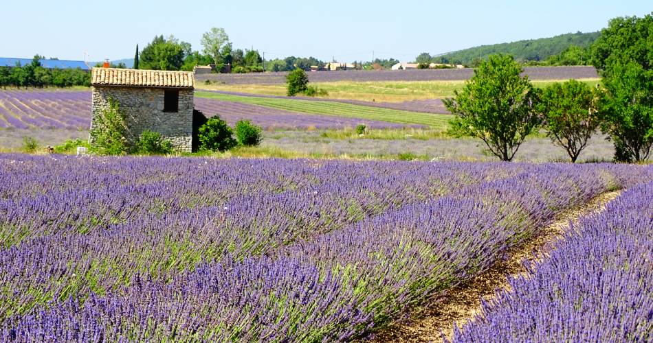
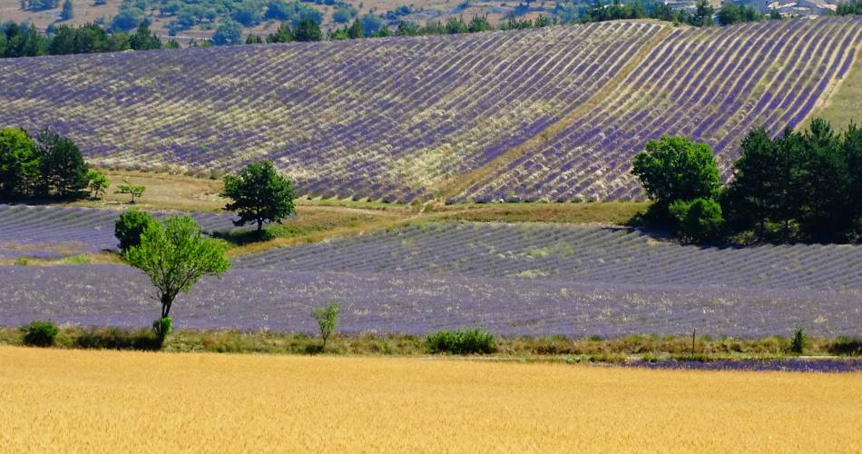
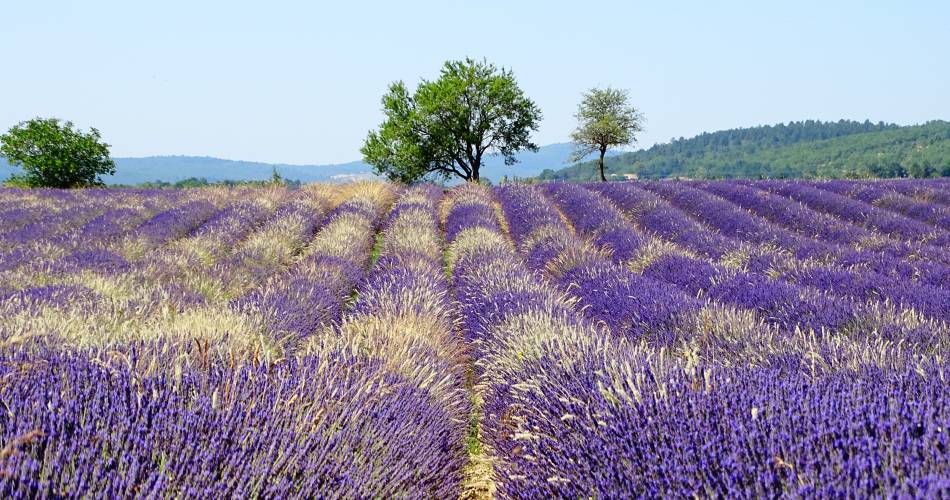
You are in the land of blue gold, in the heart of the largest production area of true lavender (Lavandula angustifolia) in Europe
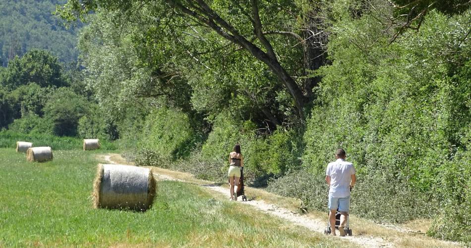
From Sault, capital of lavender, this hiking loop lets you discover all the facets of this symbol of Provence and this, in all seasons.A 4-kilometer marked hike with informative panels along the way. The lavender is in bloom from early July to early August. Free access.
To note
 If you want to report a problem on your hike (marking, maintenance, danger...), let us know on Suricate: sentinels.sportsdenature.fr
Access to the massifs
Respect the regulations preserving protected natural areas – find out about restrictions to accessing the massifs during fire risk periods, from 15 June to 15 September.
Before heading out, check the website
Respect the regulations preserving protected natural areas – find out about restrictions to accessing the massifs during fire risk periods, from 15 June to 15 September.
Before heading out, check the website
In brief
Contact
Office de tourisme Intercommunal Ventoux Sud - BIT de SaultTel : View number 04 90 64 01 21
E-Mail : oti@ventoux-sud.com
Guided hikes
This page was produced with the help of theOffice de Tourisme Intercommunal Ventoux Sud
