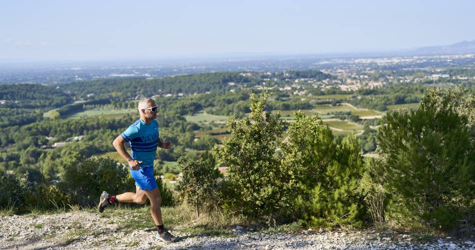
Pernes-les-Fontaines
TV04bis - Piégros
Route
Loop
Difficulty
Very easy
Duration
0h51
Distance
5km
Positive elevation gain
150 meters
Negative elevation gain
149 meters
Altitude
Min. 130 meters
Max. 227 meters
- circuit
- variante
- liaison
Departure / Arrival
/
Parking
profil altimétrique
Downloads
Traces GPX
Tourist service in Pernes-les-Fontaines :
To note
 If you want to report a problem on your hike (marking, maintenance, danger...), let us know on Suricate: sentinels.sportsdenature.fr
Access to the massifs
Respect the regulations preserving protected natural areas – find out about restrictions to accessing the massifs during fire risk periods, from 15 June to 15 September.
Before heading out, check the website
Respect the regulations preserving protected natural areas – find out about restrictions to accessing the massifs during fire risk periods, from 15 June to 15 September.
Before heading out, check the website
In brief
Downloads
Contact
E-Mail : contact@porteduventoux.com
Website : https://www.jaimecourir.fr/UniversTrail.aspx?univertrail=vaucluse
Guided hikes
This page was produced with the help of theParc naturel régional du Mont-Ventoux