Savoillans
La randonnée de Savoillans par Terra Rando
Tourist service in Savoillans :
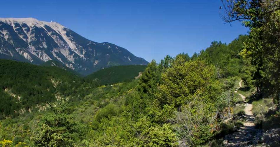
Savoillans is located in the Toulourenc valley, north of Mont Ventoux.
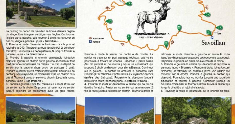
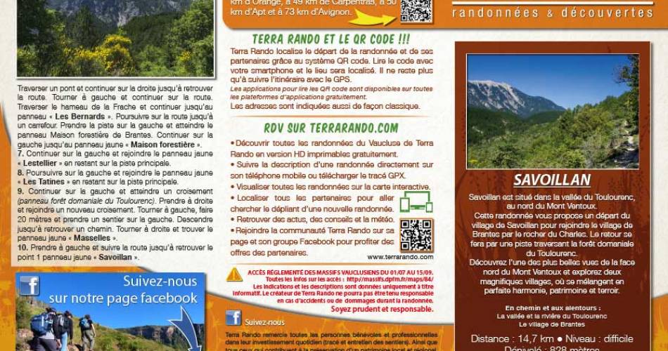
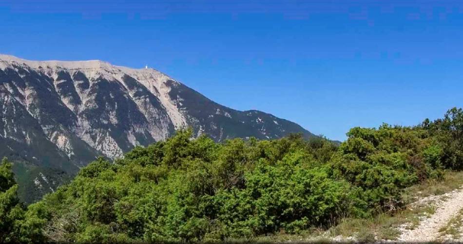
This hike departs from the village of Savoillans to reach the village of Brantes via the Charles rock. The return journey takes you along a track through the Toulourenc national forest. Discover one of the most beautiful views of the north face of Mont Ventoux and explore two magnificent villages, where heritage and terroir blend in perfect harmony.
Distance: 14.7 km / Difficulty level / Vertical rise: 828 meters / Réf carte ©IGN : 3140ET.
To see along the way and around the hike:
> Toulourenc valley and river
> The village of Brantes
The hiking map is available free of charge from the Vaison Ventoux Provence Tourist Office.
Also on the terrarando.com website: tips for hiking in the Vaucluse and all the practical information from Terra Rando's partners. Happy hiking and discovering...
Services
- Pets welcome
Dates and times
From 01/01 to 31/12.
Languages spoken
- French
Prices
Free access.
Contact
La randonnée de Savoillans par Terra Rando84390 Savoillans
E-Mail :
Afficher le mail
terrarando@gmail.com
Website : https://terrarando.com/les-randonnees-du-vaucluse/randonnees-pedestres-mont-ventoux/la-randonnee-de-savoillan
Website : https://terrarando.com/les-randonnees-du-vaucluse/randonnees-pedestres-mont-ventoux/la-randonnee-de-savoillan
Coordinates
Longitude : 5.374573Latitude : 44.179917
> Getting there by public transport
This page was produced with the help of theOffice de tourisme du Pays de Vaison Ventoux en Provence


