Crestet
La randonnée de Crestet par Terra Rando
Tourist service in Crestet :
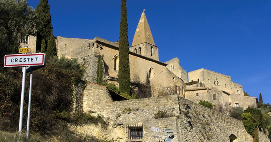
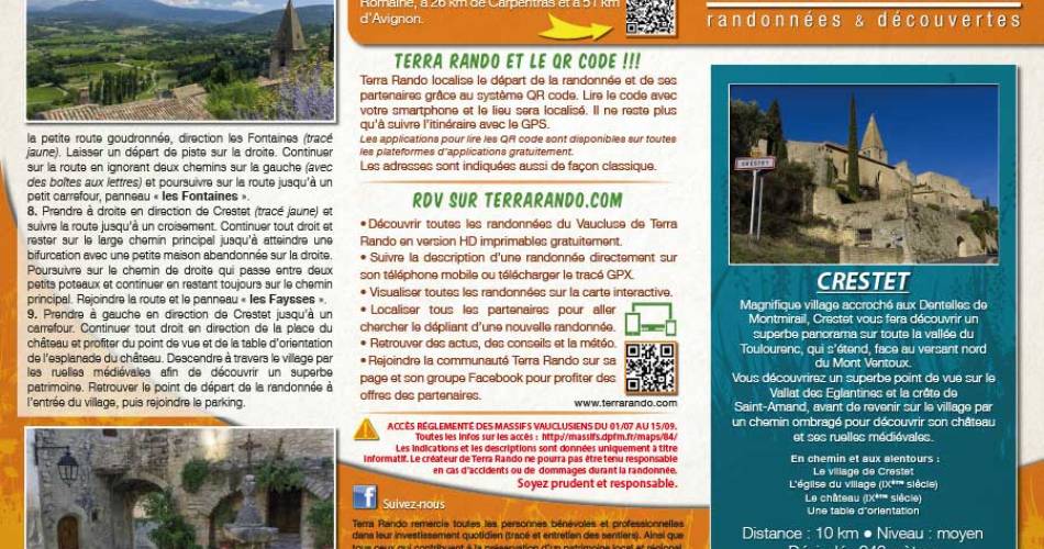
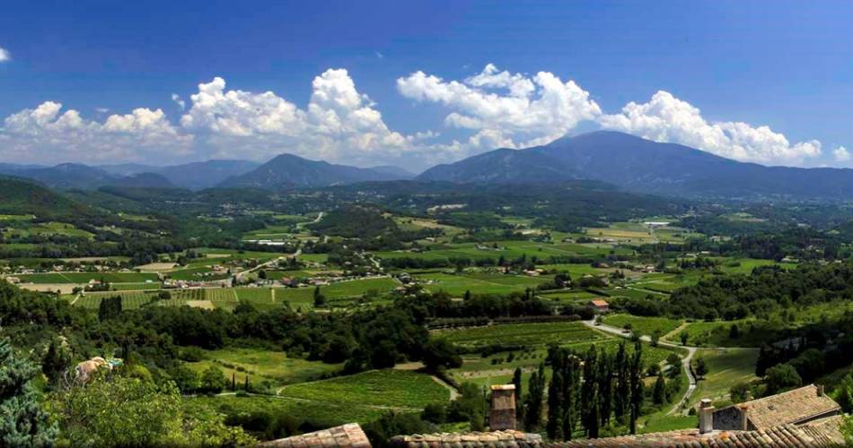
A magnificent village clinging to the Dentelles de Montmirail, Crestet offers superb panoramic views over the entire Toulourenc valley, which stretches across the northern slopes of Mont Ventoux.
You'll discover a superb view of the Vallat des Eglantines and the Saint-Amand ridge, before returning to the village along a shady path to discover its castle and medieval streets.
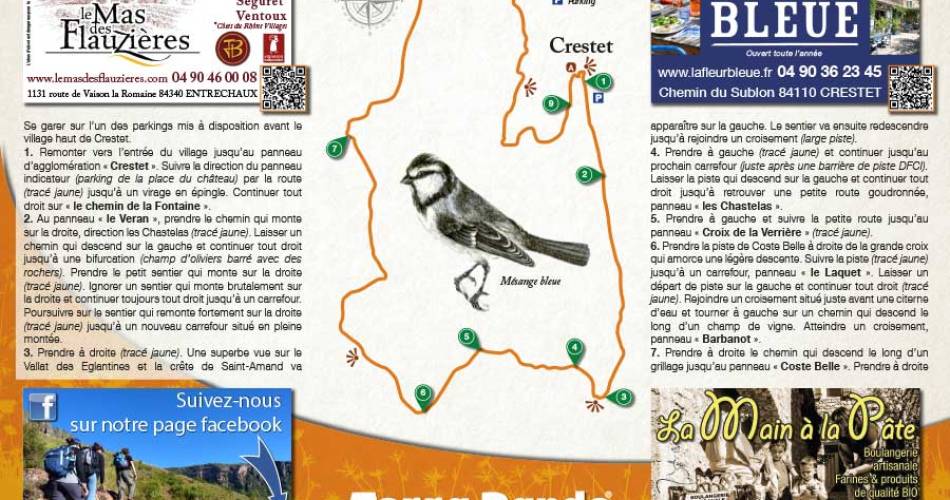
Distance: 10 km / Level: medium / Difference in altitude: 346 m / Réf carte ©IGN : 3040ET.
To see on the way and around the hike :
> The village of Crestet
> Village church (9th century)
> Castle (9th century)
> An orientation table
The hiking map is available free of charge from the Vaison Ventoux Provence Tourist Office.
Also on the terrarando.com website: advice on hiking in the Vaucluse and practical information from Terra Rando's partners. Happy hiking and discovering...
Services
- Pets welcome
Dates and times
From 01/01 to 31/12.
Languages spoken
- French
Prices
Free access.
Contact
La randonnée de Crestet par Terra Rando84110 Crestet
E-Mail :
Afficher le mail
terrarando@gmail.com
Website : https://terrarando.com/les-randonnees-du-vaucluse/randonnees-pedestres-dentelles-de-montmirail/la-randonnee-de-crestet
Website : https://terrarando.com/les-randonnees-du-vaucluse/randonnees-pedestres-dentelles-de-montmirail/la-randonnee-de-crestet
Coordinates
Longitude : 5.08395Latitude : 44.217113
> Getting there by public transport
Nearby
This page was produced with the help of theOffice de tourisme du Pays de Vaison Ventoux en Provence


