Sault
Hiking path - Défends Woods
Tourist service in Sault :
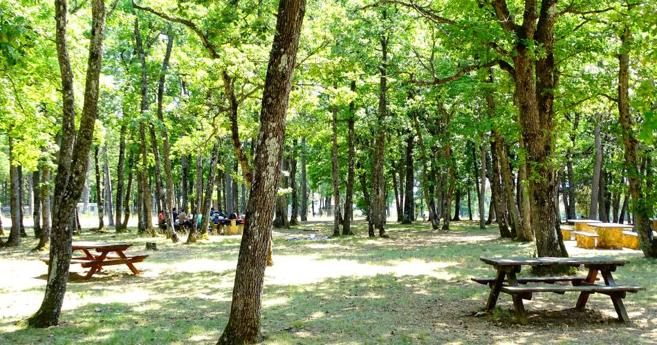
This was the reserve of the reigning lord - and it was forbidden to let the animals graze here - for the best wood in the kingdom was logged to from these forests to build the royal fleet under Colbert. Distance: 7 km - Altitude change: 115 m - Time: 2 hours 20 minutes - Marking: yellow and white/red - Leave from: Défends horse racing track in Sault
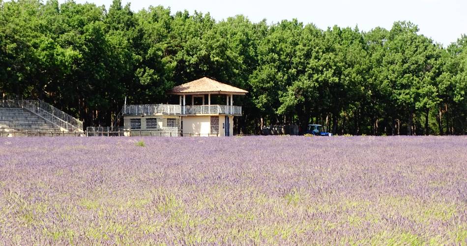
Leave from the Défends horse track in Sault.
From the horse track, take the pebbly road in the north-west direction (view over Mont Ventoux), go past Le Défends (804 m; from the Provença word "Grand Devens" which means "woods whose use is covered by law, and forbidden to cattle"). Continue on the path to the Roumane intersection (805 m; from the first name Roman).
Follow a stony path on the right, go by the La Rouyère intersection (816 m; from the word "roièra" which means "white oak forest") and reach Mougne pass (826 m).
Go along the path to the right. Take the first path on the right, go 200 m, follow the trail on the left 80 m and reach the Défends cave (816 m). Continue straight on, then take the wide road on the right to the Loutar-du-Loup intersection (809 m; means "place where the wolf sleeps").
Take the path on the left and come to the D 950, at the Hermitage. Cross the road, then go along it on the left, to take the first path on your right. It makes a wide loope and reaches the Curni ravine (762 m). Go on your left, on a dirt road which is flat at first then rises and reaches the "Trou de l'Eimine" (793 m; a big hole on the left which is a filled-in cave. The émine is a former agricultural measure which was approximately 900 m2).
Continue on in the same direction and go along the stony path in the Pourraches woods (751 m. The "porracha" is the "asphodèle" (or daffodil), unless this refers to a type of well, called a "posaraca" or wheel well. Go down the road, cross the talweg (shooting range on the right) and 200 m back up the trail to Mougne (776 m).
Continue in the same direction, cross the D 950 and return to the starting point.
Le Pays du Ventoux à pied - Ed. FFRP 12.50 euros
Contact
Hiking path - Défends WoodsHippodrome du Defends -
Route de St Trinit
84390 Sault
Tel :
View number
04 90 64 01 21
E-Mail : Afficher le mail oti@ventoux-sud.com
E-Mail : Afficher le mail oti@ventoux-sud.com
Coordinates
Longitude : 5.422869Latitude : 44.102846
> Getting there by public transport
Downloads
Nearby
This page was produced with the help of theOffice de Tourisme Intercommunal Ventoux Sud

