Bédoin
A - Ascent of Mont-Ventoux from Bédoin
Tourist service in Bédoin :
The legendary climb from Bédoin from kilometre zero! Accessible from mid-April to mid-November.
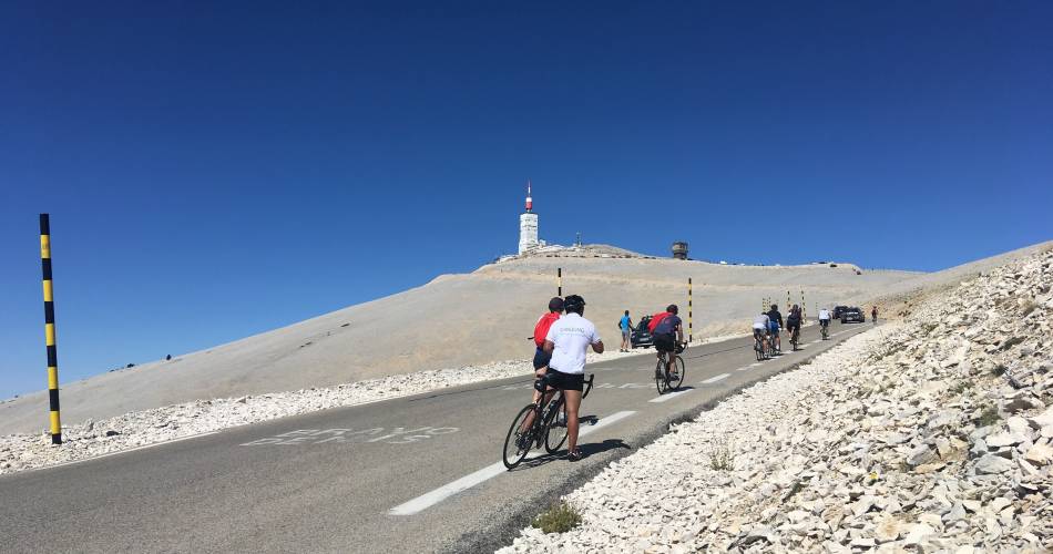
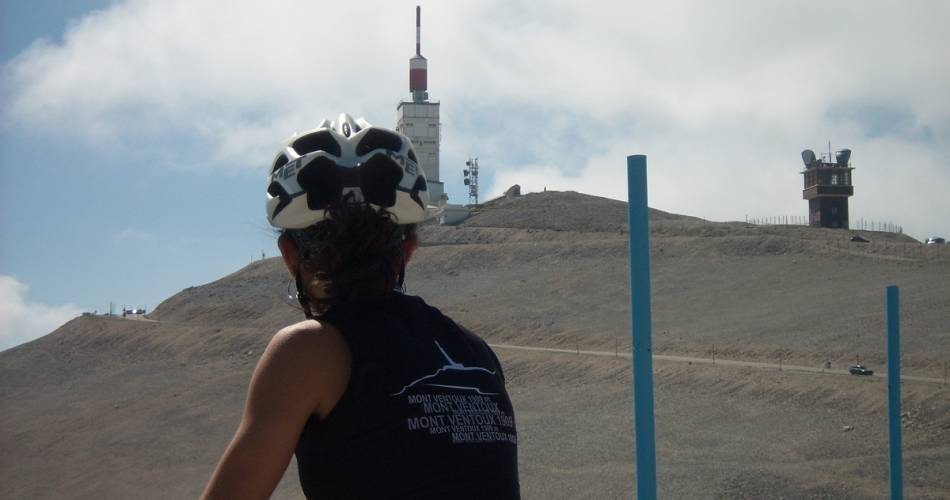
Tour de France stages have made this route famous on a number of occasions. It is undoubtedly the most difficult: 22 km of winding roads, elevation gains ranging from 5 to 7% over the first six kilometres and then 10 to 12% until the summit. The route passes through magnificent forests, giving way to a lunar landscape after Chalet Reynard.
The ascent from Bédoin can be broken down into three stages:
- From Bédoin to Saint Estève
This 5.5-kilometre stage with a gentle incline, 4.5% on average, allows you to warm up.
- From Saint-Estève to Chalet Reynard
A second 8-kilometre stage. The average incline then increases to 9.4% on average. It’s probably the most difficult part of the route.
- From Chalet Reynard to the summit
The third and last step is 6 kilometres long, with an average incline of 8%. The difficulty gradually increases up to the summit. Accumulated fatigue and sun and wind exposure make this final section particularly difficult.
Practical information!
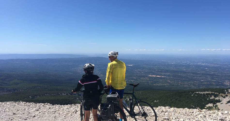
Taking on the Giant of Provence by bike requires preparation. Before you set off, you must train and ensure that you are in perfect physical condition, have a suitable road bike and check the weather.
Most accidents happen during the descent, be vigilant and control your speed. Avoid setting off during the hottest hours of the day; instead leave early in the morning or at the end of the day.
Water supplies along the route:
- Fountain in front of Bédoin Tourist Office
- Fountain at Chalet Reynard
- Fontaine de la Grave fountain (1.6 km after Chalet Reynard)
There are picnic areas and bins all along the route. Please do not litter. Keep the countryside clean.
Equipment
- Car park
- Defibrillator
- Picnic area
- Orientation board
Dates and times
All year round daily.
Duration: 0 h
Languages spoken
- French
Prices
Free of charge.
Contact
A - Ascent of Mont-Ventoux from BédoinD 974
84410 Bédoin
Tel :
View number
04 90 65 63 95
E-Mail : Afficher le mail bedoin@ventouxprovence.fr
E-Mail : Afficher le mail bedoin@ventouxprovence.fr
Coordinates
Longitude : 5.181135Latitude : 44.125147
> Getting there by public transport
This page was produced with the help of theOffice de tourisme Ventoux Provence Tourisme


