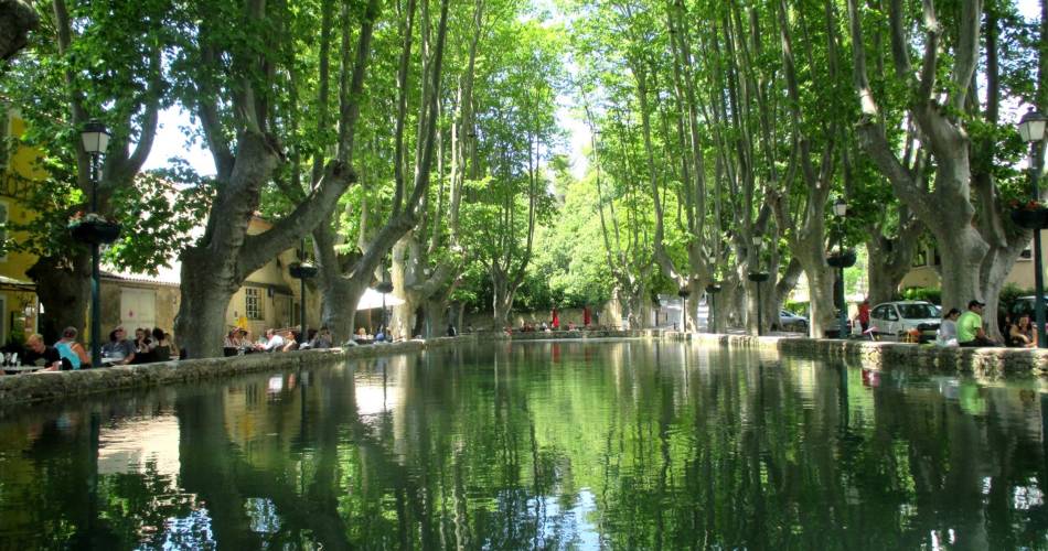
Cucuron
CUCURON-VAUGINES - Chemin de pelerinage
L12
Route
Loop
Difficulty
Easy
Duration
1h03
Distance
8km
Positive elevation gain
214 meters
Negative elevation gain
213 meters
Altitude
Min. 338 meters
Max. 486 meters
Tourist service in Cucuron :
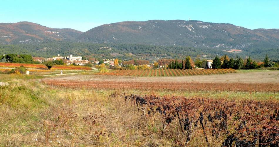
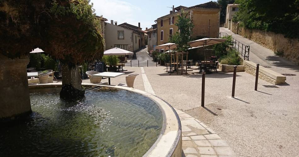
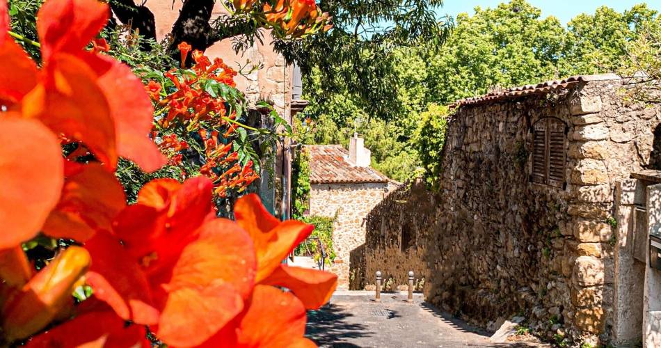
Une balade entre vignes, étang et terres boisées, sur les traces du passé et du pèlerinage.
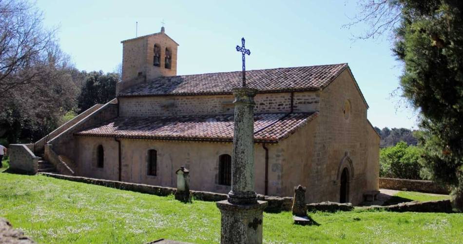
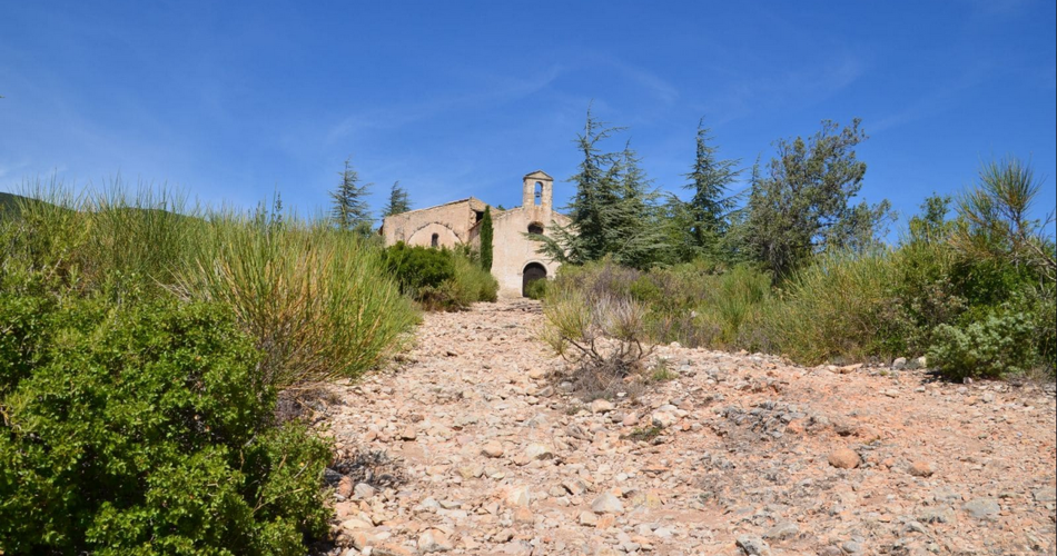
"Depuis ma tendre enfance, j'entends dans mes oreilles sonner cette ronditude, et de par mon métier d'accompagnateur en montagne j'ai eu la chance d'en découvrir toute sa beauté. Prendre le temps de flâner dans ces deux beaux villages, c'est bondir dans le passé découvrir façades, fontaines, remparts, merveilles architecturales qui ne peuvent laisser indifférents. Laissez-vous embarquer dans ce beau pèlerinage mêlant beaux paysages et histoire d'un autre âge et découvrez sur le chemin, l'emblématique chapelle de l'Ermitage." Oliver Dumais - accompagnateur moyenne montagne dans le Luberon, membre de la compagnie Cèdres.
Go to the route
public transportation
Nearest SNCF station: Pertuis
Bus Zou !
- From Pertuis or Cavaillon: line 908 / stop at Coopérative (↗). On the GR9 (signposted and secure), there is a signpost further on towards the hike.
- From Vaugines: line 919 / Centre (↗) stop on the route
>> More info on timetables (↗)
Bus Zou !
- From Pertuis or Cavaillon: line 908 / stop at Coopérative (↗). On the GR9 (signposted and secure), there is a signpost further on towards the hike.
- From Vaugines: line 919 / Centre (↗) stop on the route
>> More info on timetables (↗)
To note
 If you want to report a problem on your hike (marking, maintenance, danger...), let us know on Suricate: sentinels.sportsdenature.fr
Access to the massifs
Respect the regulations preserving protected natural areas – find out about restrictions to accessing the massifs during fire risk periods, from 15 June to 15 September.
Before heading out, check the website
Respect the regulations preserving protected natural areas – find out about restrictions to accessing the massifs during fire risk periods, from 15 June to 15 September.
Before heading out, check the website
Guided hikes
This page was produced with the help of theParc Naturel Régional du Luberon