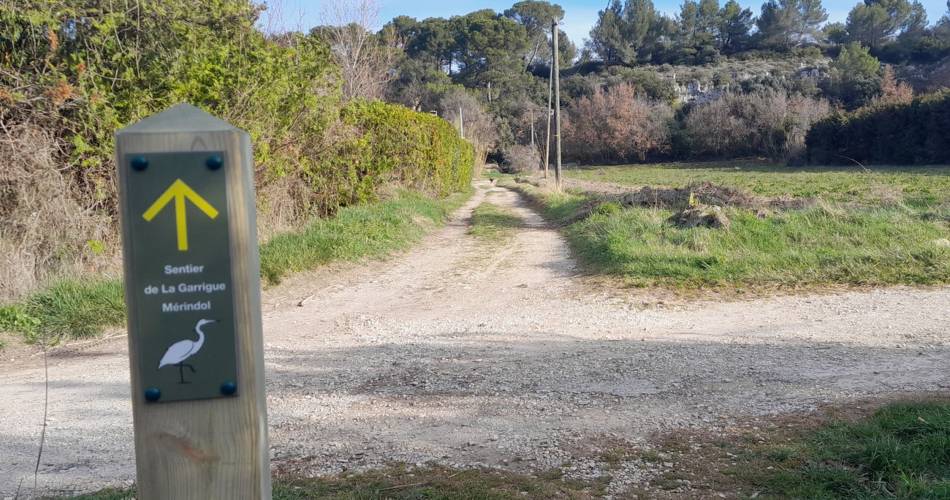
Mérindol
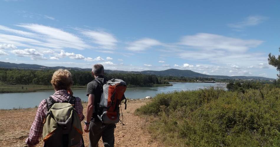
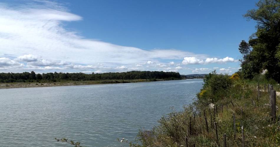
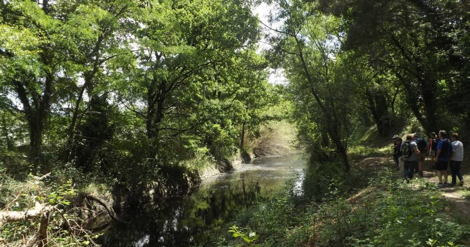
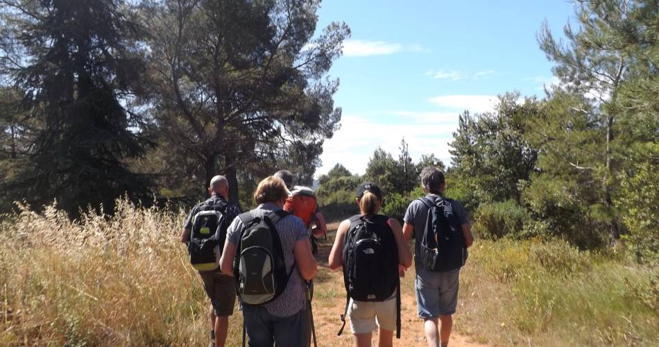
Between the scrubland and the Durance river
Route
Loop
Difficulty
Very easy
Duration
1h03
Distance
4km
Positive elevation gain
27 meters
Negative elevation gain
28 meters
Altitude
Min. 116 meters
Max. 142 meters
- circuit
- variante
- liaison
Departure / Arrival
Mérindol – La garrigue car park / Mérindol – La garrigue car park
Parking
Mérindol – La garrigue car park
profil altimétrique

Tourist service in Mérindol :
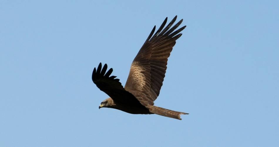
Aromas from pines and scrub, mix of meanders and the tranquillity of the birds. A triumphant Durance cocktail!
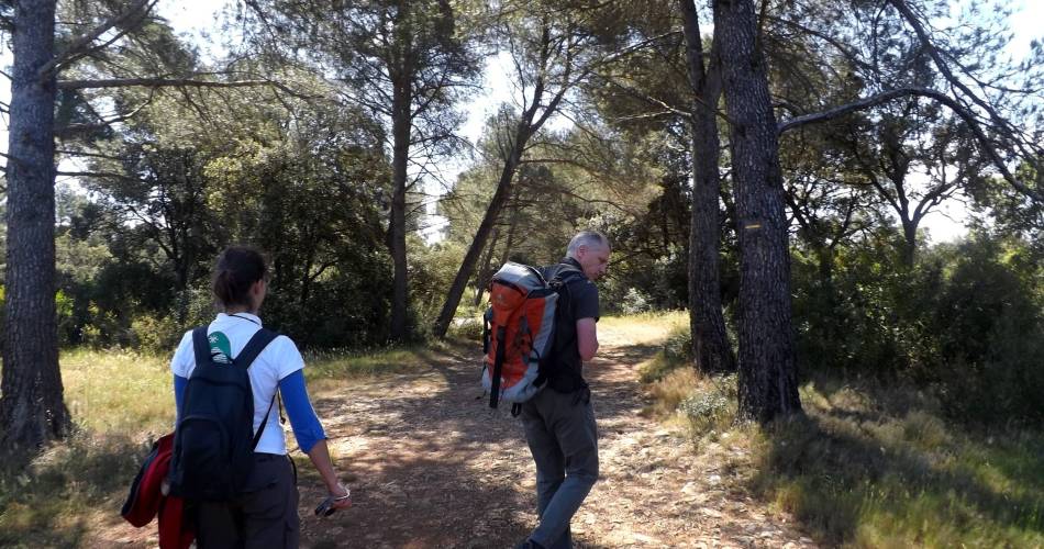
Cross the second barrier and go straight into the woods. Continue straight at the first intersection and then at the intersection shaped in a Y, take a right. Reach the point of view of the Durance (do not go beyond reason to the cliff edge).!)
1 - Take a right. Continue straight to the next crossing.
2 - Do not miss on the left the path going down to the valley of the Grand Jardin. Go past a house and crops and upon arriving on a small road, go across under the railway track. Take the second road ahead and then the dirt road across (old car park). Cross the little bridge over the old canal of Carpentras.
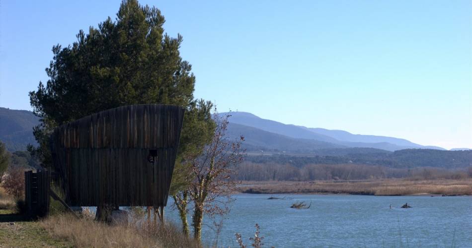
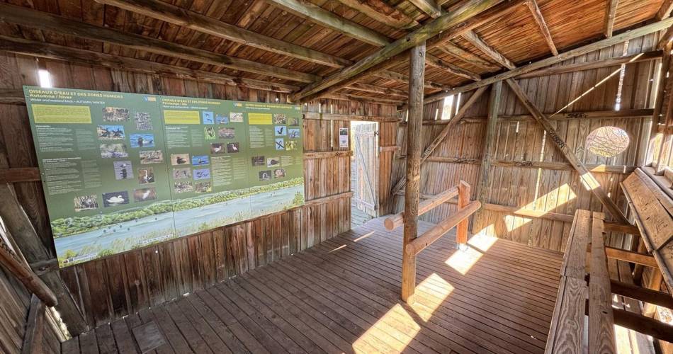
3 - .Continue straight Reach to another path. Turn left, climb the dam by the stairs and reach the bird observatory. Retrace your steps and turn left at the foot of the staircase. Leave behind the track taken at the beginning and continue straight the path at the foot of the dam. On the bridle path, continue on the right along a large field and reach the Carpentras canal. Continue to the right until the end of the dirt road.
4 - Just before the road, turn right, go through the woods and follow the path along the old canal. Come back to the small bridge (point 3).
3 - Take a sharp left and go back to the forest of La Garrigue (point 2) by the route taken at the beginning.
2 - At the top of the steep hill, continue straight. Then take a right to return to the starting point calmly.
1 - Take a right. Continue straight to the next crossing.
2 - Do not miss on the left the path going down to the valley of the Grand Jardin. Go past a house and crops and upon arriving on a small road, go across under the railway track. Take the second road ahead and then the dirt road across (old car park). Cross the little bridge over the old canal of Carpentras.
3 - .Continue straight Reach to another path. Turn left, climb the dam by the stairs and reach the bird observatory. Retrace your steps and turn left at the foot of the staircase. Leave behind the track taken at the beginning and continue straight the path at the foot of the dam. On the bridle path, continue on the right along a large field and reach the Carpentras canal. Continue to the right until the end of the dirt road.
4 - Just before the road, turn right, go through the woods and follow the path along the old canal. Come back to the small bridge (point 3).
3 - Take a sharp left and go back to the forest of La Garrigue (point 2) by the route taken at the beginning.
2 - At the top of the steep hill, continue straight. Then take a right to return to the starting point calmly.
Go to the route
public transportation
Nearest SNCF station: Cavaillon (↗ | fr)
Bus Zou !
- From Cavaillon or Pertuis: line 908 / Mérindol Centre stop (↗).
Please note that there is no pavement along the road between the roundabout and the dangerous Chemin des Aires exit. It is advisable to take the small parallel road ‘Chemin des Aires’ or the ‘Chemin du Moulin Neuf’ and then a footpath on the left that takes you back to the loop along the way.
recommended parking
Mérindol – La garrigue car park
To note
- Do not get too close to the edges of the cliff (point 1) and irrigation canals (before and after point 4).
- Stay inconspicuous if you want to look at the birds from the observatory (after point 3)
 If you want to report a problem on your hike (marking, maintenance, danger...), let us know on Suricate: sentinels.sportsdenature.fr
Access to the massifs
Respect the regulations preserving protected natural areas – find out about restrictions to accessing the massifs during fire risk periods, from 15 June to 15 September.
Before heading out, check the website
Respect the regulations preserving protected natural areas – find out about restrictions to accessing the massifs during fire risk periods, from 15 June to 15 September.
Before heading out, check the website
In brief
- Accessible, family circuit
- Discovery the fauna and flora of the Durance river
Downloads
Contact
Parc naturel régional du LuberonGuided hikes
This page was produced with the help of theParc Naturel Régional du Luberon