Gordes
Trails of the Maquis de Gordes through La Sénancole
L17
Route
Loop
Difficulty
Intermediate
Duration
8.75d
Distance
10km
Positive elevation gain
390 meters
Negative elevation gain
392 meters
Altitude
Min. 215 meters
Max. 466 meters
Tourist service in Gordes :
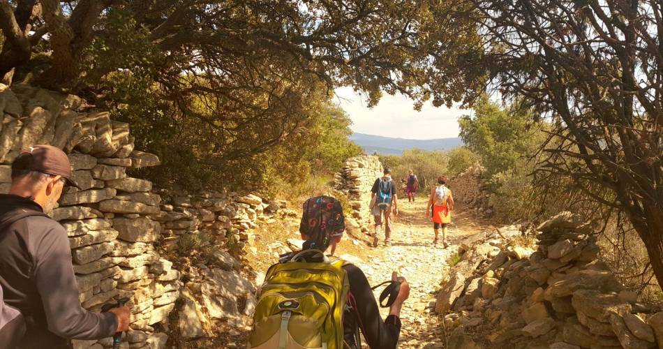
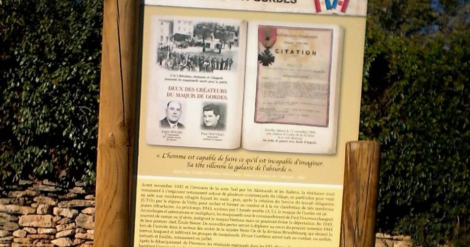
Hiking and history, following the footsteps of the members of the Resistance from Gordes (1942 - 1944)
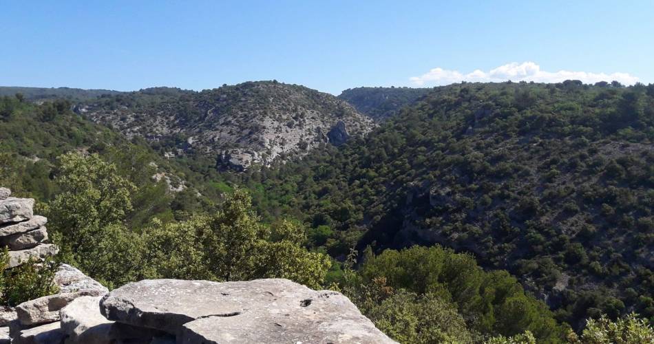
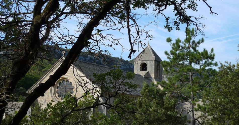
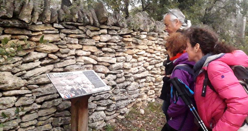
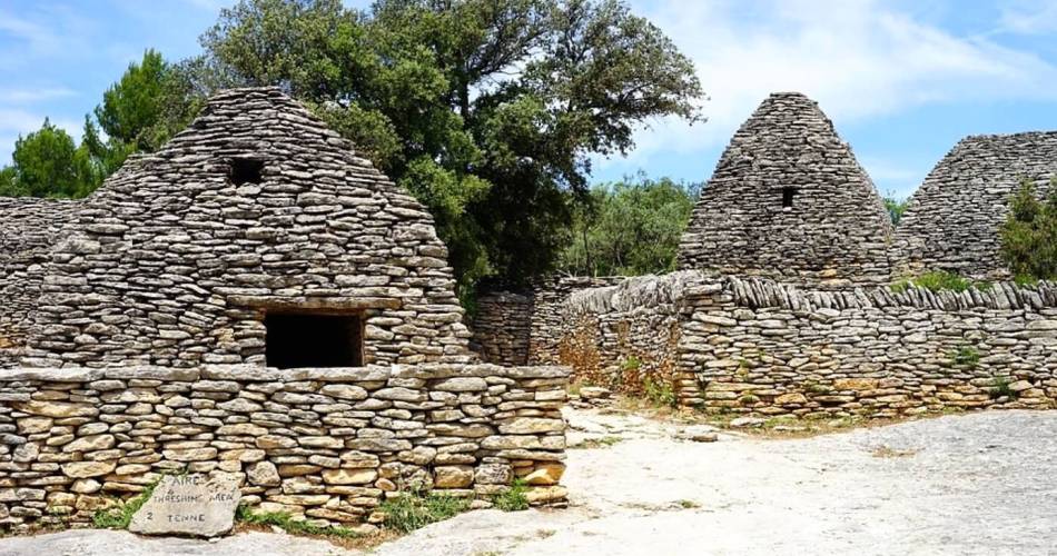
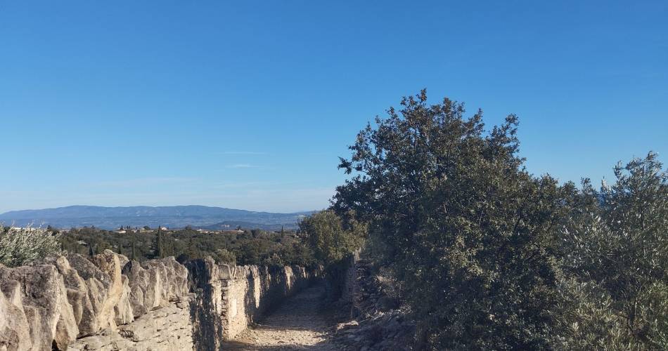
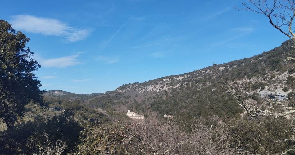
To convey the memory of what the Resistance in Gordes was like during World War II, the cantonal association "Cadets de la Résistance" has marked and enriched two "memory lanes" around Gordes with information boards. This first tour (A) goes along the west side of Gordes, passes through the famous "Village des Bories", then up the wild valley of La Sénancole until reaching the impressive Sénanque Abbey...
Go to the route
public transportation
Nearest SNCF station: Cavaillon
Bus Zou !
- From Cavaillon or Apt: route 917 / stops Gendarmrie (↗) or Place du Château (↗)
Bus Zou !
- From Cavaillon or Apt: route 917 / stops Gendarmrie (↗) or Place du Château (↗)
recommended parking
Pay car park on route de Murs (D2).
road access
18 km north-east of Cavaillon on the D15.From Avignon, head towards Apt on the D900.
To note
- Between points 2 and 3, then 4 and 6: watch your ankles on the rocky and slippery sections.
- Point 7: take care when approaching Gordes.
- Be careful on the way: if the paths you take are marked GR-GRP or PR, the combination of the route is reinforced at the main crossroads by arrows with a brown Cross of Lorraine (produced by the Association des Cadres de la Résistance).
- Hunting is open from September to February. Remember to find out about the Battues before you leave.
 If you want to report a problem on your hike (marking, maintenance, danger...), let us know on Suricate: sentinels.sportsdenature.fr
Access to the massifs
Respect the regulations preserving protected natural areas – find out about restrictions to accessing the massifs during fire risk periods, from 15 June to 15 September.
Before heading out, check the website
Respect the regulations preserving protected natural areas – find out about restrictions to accessing the massifs during fire risk periods, from 15 June to 15 September.
Before heading out, check the website
In brief
- A trail commemorating the Resistance of the maquisards of Gordes during the Second World War, dotted with information panels recounting the lives of those who fought in the Resistance in the Luberon.
- A trail up the wild Sénancole valley, punctuated by the villages of the Bories, small dry-stone buildings typical of the Luberon, and the world-famous Sénanque Abbey.
Downloads
Contact
Parc naturel régional du LuberonGuided hikes
This page was produced with the help of theParc Naturel Régional du Luberon