Avignon
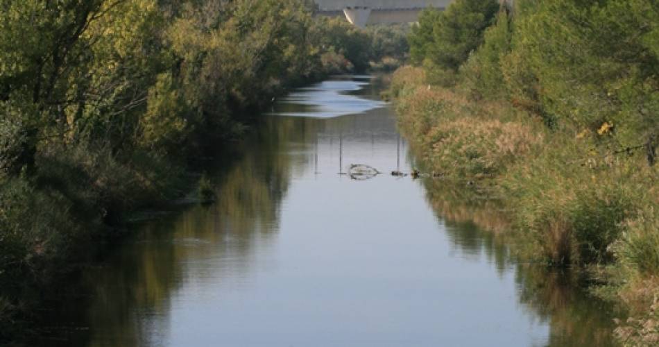
Hiking and cycling outing - Along the banks of the Canal de Vaucluse in Avignon
Route
Round trip
Difficulty
Very easy
Duration
1h
Distance
7km
Positive elevation gain
25 meters
Negative elevation gain
26 meters
Altitude
Min. 18 meters
Max. 23 meters
Departure / Arrival
/
Parking
profil altimétrique
1 / 1
Tourist service in Avignon :
This itinerary is the opportunity to discover the 1st phase of the canal path, the "Chemin des Canaux", a greenway laid out for soft travel and accessible to persons with reduced mobility.To note
 If you want to report a problem on your hike (marking, maintenance, danger...), let us know on Suricate: sentinels.sportsdenature.fr
Access to the massifs
Respect the regulations preserving protected natural areas – find out about restrictions to accessing the massifs during fire risk periods, from 15 June to 15 September.
Before heading out, check the website
Respect the regulations preserving protected natural areas – find out about restrictions to accessing the massifs during fire risk periods, from 15 June to 15 September.
Before heading out, check the website
In brief
Downloads
Contact
Office de Tourisme du Grand AvignonTel : View number
E-Mail : officetourisme@avignon-tourisme.com
Website : http://www.avignon-tourisme.com
Guided hikes
This page was produced with the help of theOffice de Tourisme Avignon Tourisme
