Saint-Saturnin-lès-Avignon
A07 Balade & Découverte - La Balade des Copines
A07
Route
Loop
Difficulty
Intermediate
Duration
3h
Distance
8km
Positive elevation gain
110 meters
Negative elevation gain
109 meters
Altitude
Min. 40 meters
Max. 118 meters
- circuit
- variante
- liaison
Departure / Arrival
Traverse du Félibrige / Traverse du Félibrige
Parking
Traverse du Félibrige
profil altimétrique
Traces GPX
Tourist service in Saint-Saturnin-lès-Avignon :
Nature walk between Jonquerettes and Saint-Saturnin-les-Avignon. Difficulty: Intermediate. Download the full itinerary.
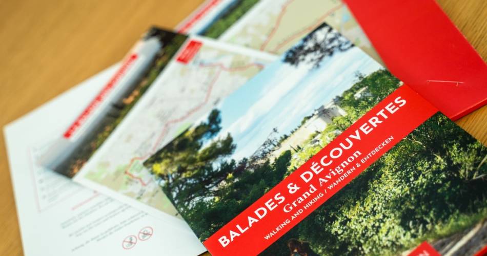
Maps of all nine of our nature walks around Grand Avignon are on sale at our local tourist offices (Villeneuve lez Avignon, Le Pontet and Roquemaure). Price: € 4.
Go to the route
public transportation
Saint Saturnin les Avignon TER train station
or number 11 bus Orizo network (↗ | fr).
Bus Zou !
- From Avignon or Isle-sur-Sorgue: line 920 or 906, Plateau stop (↗)
or number 11 bus Orizo network (↗ | fr).
Bus Zou !
- From Avignon or Isle-sur-Sorgue: line 920 or 906, Plateau stop (↗)
recommended parking
Traverse du Félibrige
road access
Avenue de la République
To note
A pleasant trail in the mid season.
Take caution on a day where the Mistral winds are strong as it is an exposed site
Don't pick fruit from the orchards or grapes from the vines.
Take caution on a day where the Mistral winds are strong as it is an exposed site
Don't pick fruit from the orchards or grapes from the vines.
 If you want to report a problem on your hike (marking, maintenance, danger...), let us know on Suricate: sentinels.sportsdenature.fr
Access to the massifs
Respect the regulations preserving protected natural areas – find out about restrictions to accessing the massifs during fire risk periods, from 15 June to 15 September.
Before heading out, check the website
Respect the regulations preserving protected natural areas – find out about restrictions to accessing the massifs during fire risk periods, from 15 June to 15 September.
Before heading out, check the website
In brief
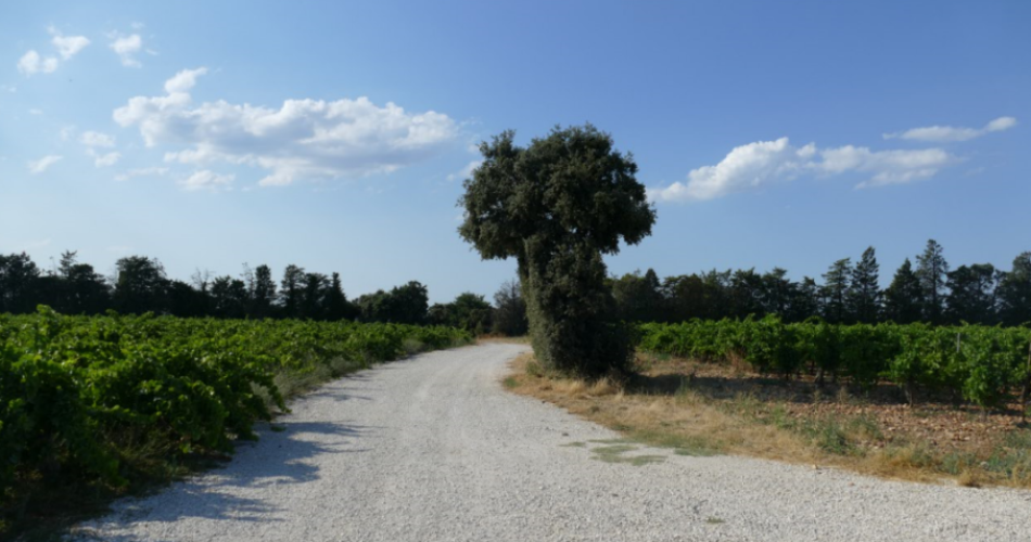
A walk between town and countryside.The Graille hill mixes natural and agricultural landscapes and offers a 270° view over Avignon and Mont Ventoux.Contact
Office de Tourisme du Grand AvignonTel : View number +33(0)4 90 03 70 60
E-Mail : tourisme@grandavignon.fr
Website : https://grandavignon-destinations.fr
Facebook : https://www.facebook.com/grandavignon
Guided hikes
This page was produced with the help of theOffice de Tourisme communautaire du Grand Avignon


