Saint-Romain-en-Viennois
Village de Saint-Romain-en-Viennois
Tourist service in Saint-Romain-en-Viennois :
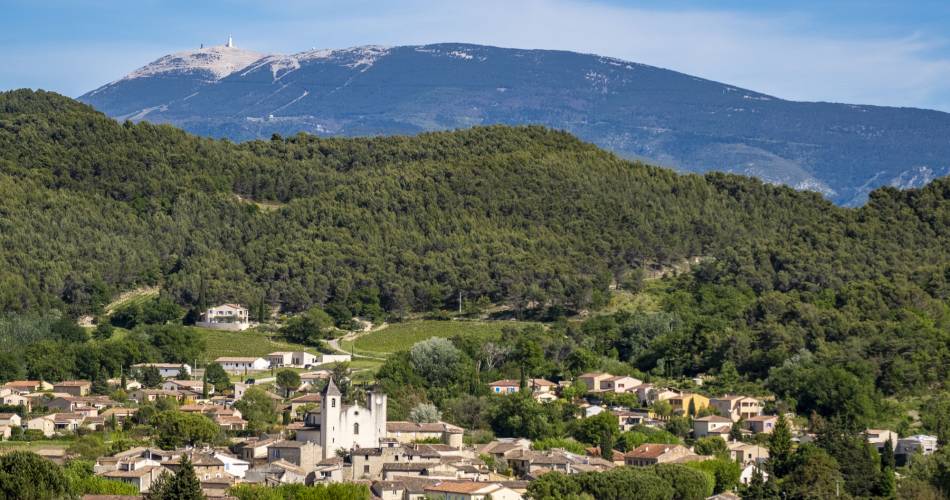
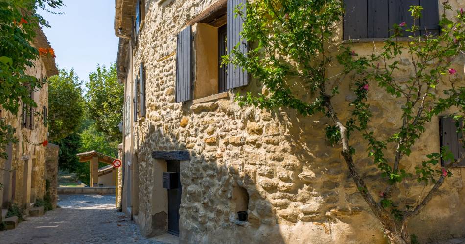
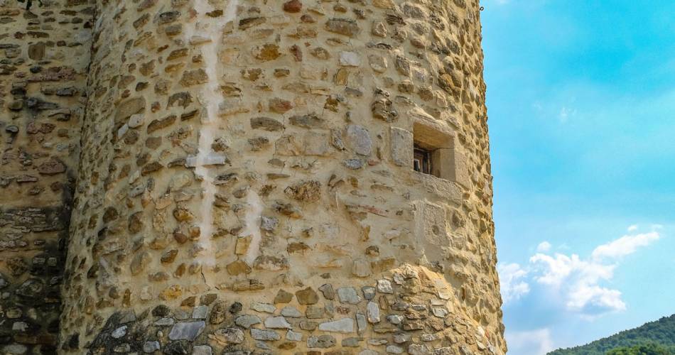
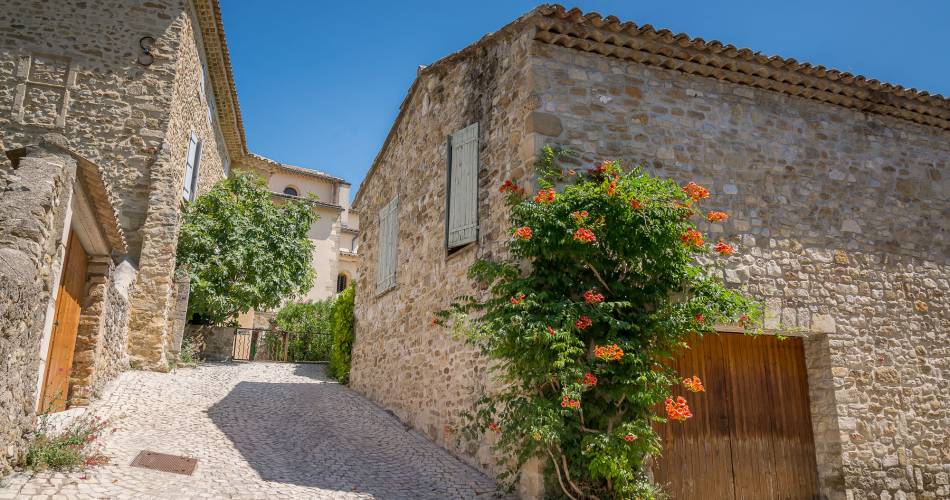
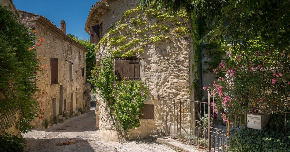
Saint-Romain-en-Viennois is built on a promontory, its back to Mont Ventoux. It is a small, fortified round village, lined with plane and chestnut trees, which once belonged to the Dauphins of Viennois.
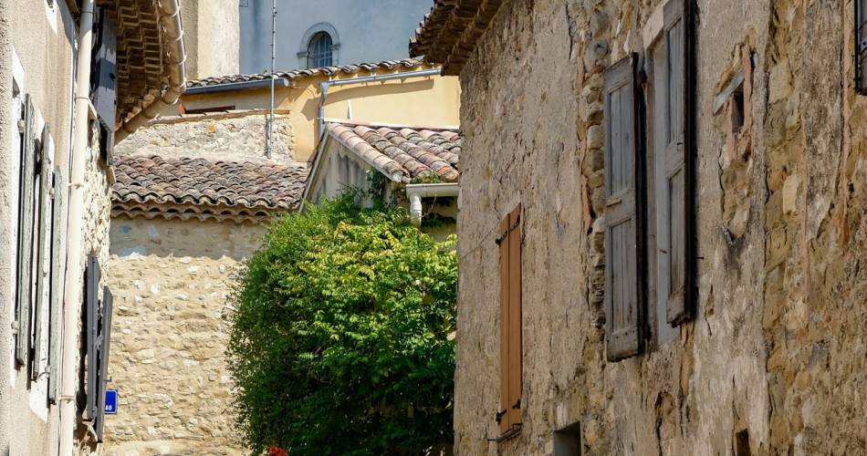
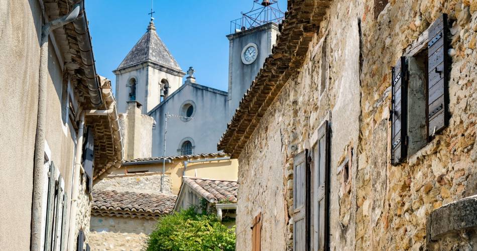
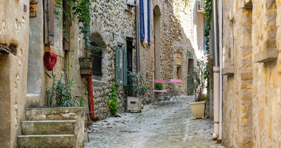
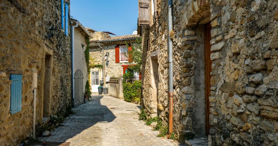
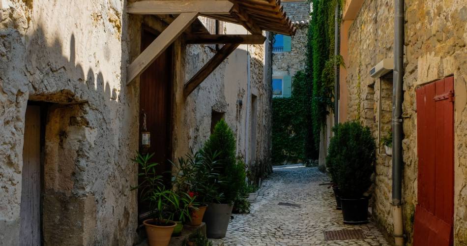
Park your car at the town hall and explore on foot the recently repaved streets. You can make out the remnants of the ancient fortification, along the ramparts that encircle the town, although the enclosure doorways no longer exist.
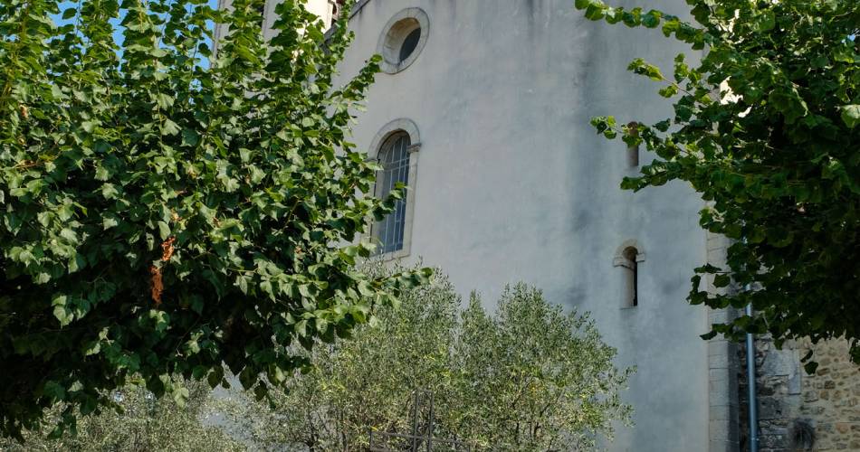
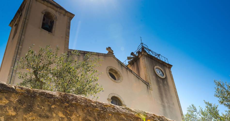
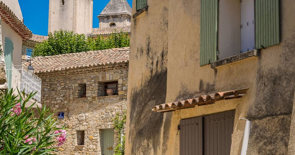
The church, rebuilt in the 19th century, is adjacent to the castle. A corner of the tower and gun port are still visible. The church’s facade is enhanced by its two steeples, one crowned by a bell tower, the other with a pointed roof.
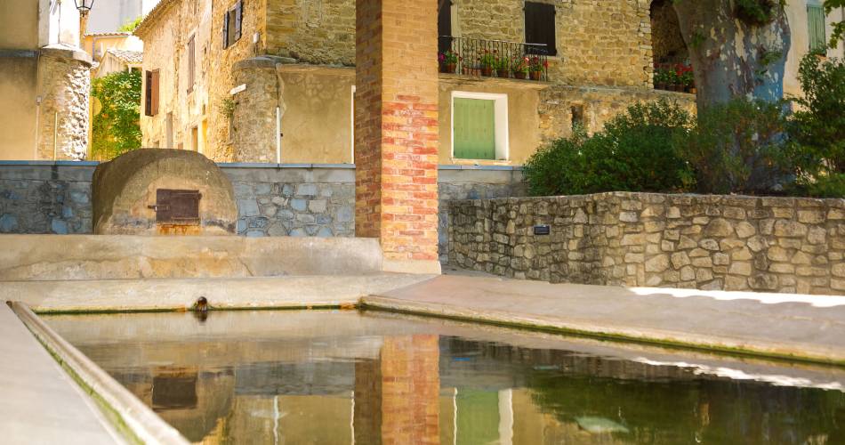
Take the path along the wash-house to the chapel of Notre-Dame-de-l’Annonciation (Our Lady of the Annunciation), which faces the village. Built on a hill of “safre*”, the view of the village from its square is breathtaking.
*safre : Zaffre is the provençal word used by masons to describe a native
material of stone and sand.
DID YOU KNOW?
In 1573, the Protestants of Nyons, some “500 men at arms and 300 horsemen” attacked Saint-Romain. To defend themselves, the inhabitants threw beehives onto the attackers.
VILLAGE SECRET
In the 19th century, the renovation of the parish church of Saint-Romain was very badly built, and collapsed. Deemed responsible, the parish priest had to flee and hide in Vaison, when faced with the wrath of the local population.
Distance from Vaison : 3,5km
Inhabitants : 872 referred to as les Saint Romanais
Elevation : 219m mini and 447m maxi
Contact
Village de Saint-Romain-en-Viennois84110 Saint-Romain-en-Viennois
Tel :
View number
04 90 46 41 98
E-Mail : Afficher le mail mairie84116@gmail.com
E-Mail : Afficher le mail mairie84116@gmail.com
Coordinates
Longitude : 5.108603Latitude : 44.257983
> Getting there by public transport
Nearby
This page was produced with the help of theOffice de tourisme du Pays de Vaison Ventoux en Provence
