Sault
TV18 - The Meynière hillside
TV18
Route
Loop
Difficulty
Easy
Duration
2h03
Distance
16km
Positive elevation gain
504 meters
Negative elevation gain
504 meters
Altitude
Min. 693 meters
Max. 1036 meters
- circuit
- variante
- liaison
Departure / Arrival
/
Parking
profil altimétrique
Downloads
Traces GPX
Tourist service in Sault :
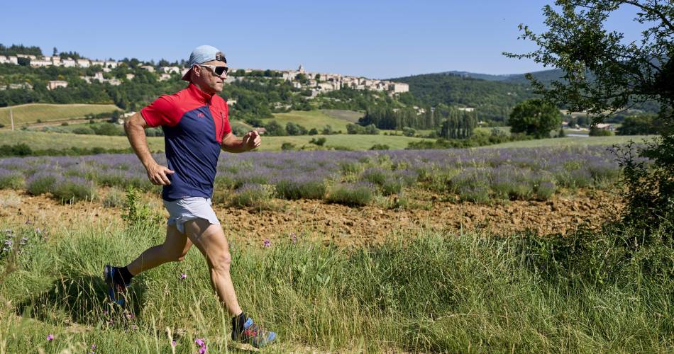
Discover the heights of Sault with this trail, accessible to the greatest number of long-distance runners, and presenting few technical difficulties. Magnificent views of Mont Ventoux from the St-Jean belvedere. Rolling course on white paths
The first section is gentle, zigzagging through lavender fields. In the second part, two beautiful climbs follow one another, with most of the ascent, to arrive on a large plateau with a splendid view of Mont Ventoux and the Montagne de Lure. The third part, in the heart of a small valley, is easy and gentle, leading back down to the village.
To note
 If you want to report a problem on your hike (marking, maintenance, danger...), let us know on Suricate: sentinels.sportsdenature.fr
Access to the massifs
Respect the regulations preserving protected natural areas – find out about restrictions to accessing the massifs during fire risk periods, from 15 June to 15 September.
Before heading out, check the website
Respect the regulations preserving protected natural areas – find out about restrictions to accessing the massifs during fire risk periods, from 15 June to 15 September.
Before heading out, check the website
In brief
Downloads
Contact
Parc Naturel Régional du Mont-VentouxTel : View number 04 90 64 01 21
E-Mail : oti@ventoux-sud.com
Website : https://www.jaimecourir.fr/UniversTrail.aspx?univertrail=vaucluse
Guided hikes
This page was produced with the help of theParc naturel régional du Mont-Ventoux